 We started out our annual hike up Black Butte with a little inspiration from Louis L'Amour to always remember that, "the trail is the thing. Travel too fast, and you will miss all you are traveling for." Along the 2 miles and 1,600 feet up the old volcano we stopped to look at aspen, laugh at squirrels, take needed rest breaks and photos, and get a sense for our place in the Metoluis basin. We made it to the top in time to eat lunch and enjoy a spectacular view. We saw the winding Metoluis River, the wet meadows of Black Butte Ranch, and our home town of Camp Sherman.
 After lunch we circled up to get a better understanding of some of the geographic features of this region and how we are connected to them. We studied different kinds of maps to learn about how people symbolize geography on paper, like drawing water in blue and using topographic lines to represent changes in elevation. All together the view, the maps,
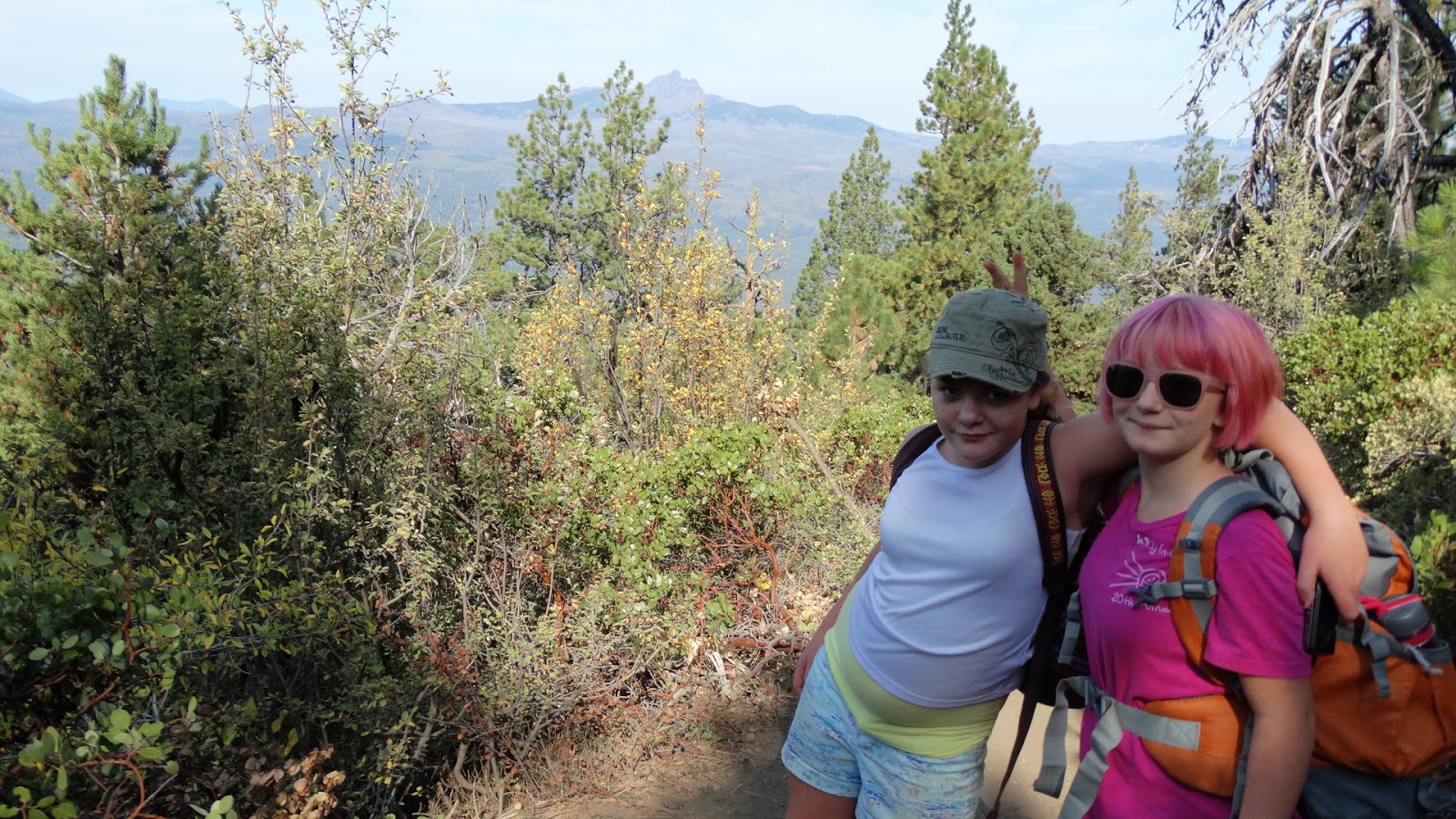
and our knowledge of Black Butte helped us to gain a better understanding of how we are connected to this place. Before we headed down, we recorded our thoughts in our field journals. One of our new students commented that, "this was like the funnest day of school I've ever had." We are looking forward to more fun field expeditions, including our next one to Skylight Cave where we will learn about bats.
This is AWESOME! I went to BBS from kindergarten through 3rd grade and although those were more difficult years (80's) I still remember it as the best time I had in school. Now, with all these new adventure teaching methods, I want to move back so that my kid can learn in such amazing ways. Keep it up.
ReplyDeleteI wasn't there :(
ReplyDelete